
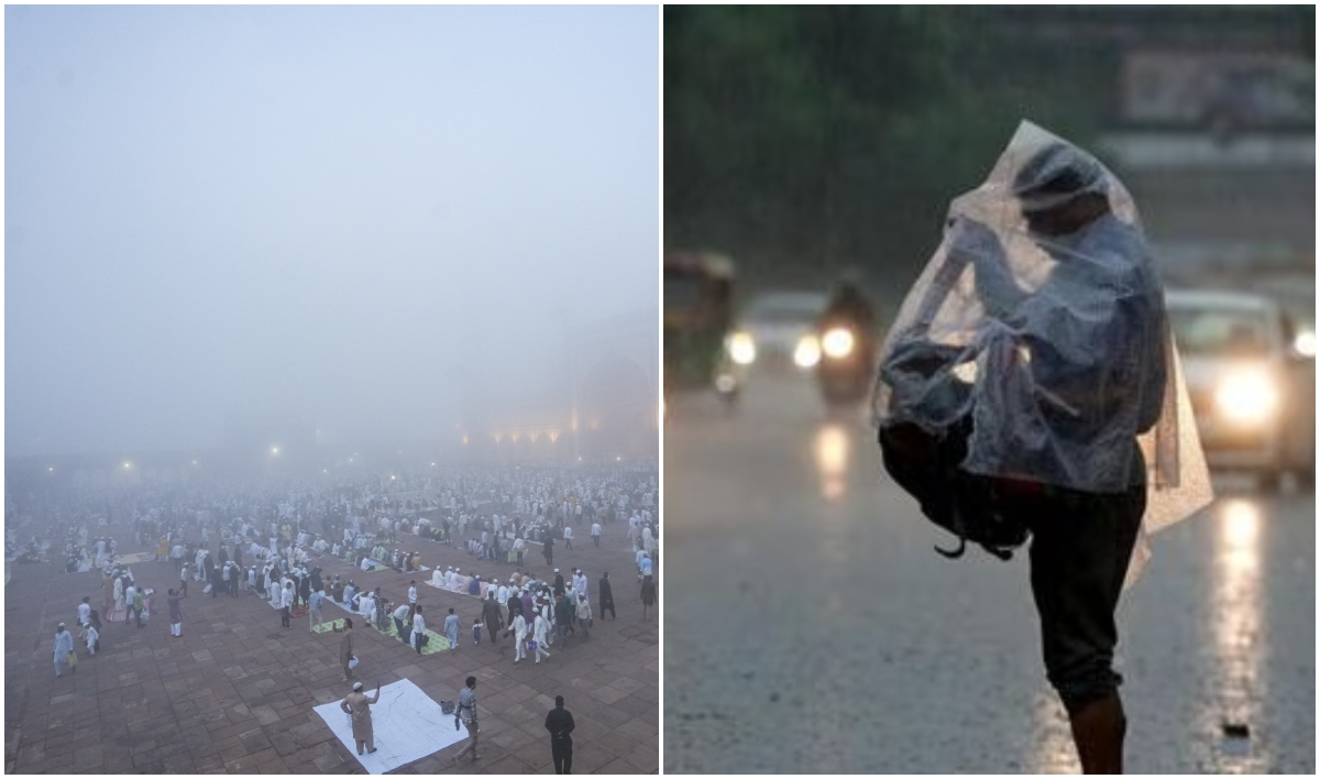
Rain occurred in many states of North India including Rajasthan and Himachal Pradesh. Fog covered Delhi again on Saturday. The minimum temperature in Delhi dropped to 13 degrees Celsius, 3.5 degrees Celsius below normal. Cold winds were blowing in the city. Although Delhi witnessed a rise in the maximum temperature, the effect of cold winds continued. This situation has come to light a day after Delhi recorded the coldest day of March in the last six years and the cleanest air in the last five months.
Know the temperature of Delhi
The minimum temperature in Safdarjung was recorded at 13 degrees Celsius, which was 3.5 degrees below normal and higher than the 16 degrees Celsius recorded on Friday. The maximum temperature was recorded at 27.4 degrees Celsius, 3.9 degrees above normal and 5.7 degrees above Friday’s maximum of 21.7 degrees Celsius.
It may rain in Delhi tomorrow
No rain was recorded in Delhi on Saturday, but the Meteorological Department said that strong winds continued to blow at a speed of 20-30 km per hour throughout the day. According to the forecast of the Indian Meteorological Department (IMD), there is a possibility of light rain along with thunder and lightning from morning to afternoon on Sunday.
There is rain alert in many districts of Rajasthan
The local meteorological center said on Saturday that parts of eastern Rajasthan received light to moderate rainfall in the last 24 hours, with Mandawa in Jhunjhunu district being the area with the highest rainfall of 18 mm. According to the Meteorological Department, the maximum temperature in most parts of the state remained between 26 and 30 degrees Celsius, which is two to eight degrees below normal. The highest temperature recorded in Jaisalmer was 30.6 degrees Celsius. The Meteorological Department said that due to the partial effect of a weak western disturbance, there is a possibility of light rain and thundershowers in parts of western Rajasthan including Jodhpur, Bikaner and Shekhawati on Sunday.
Clouds remained in many districts of UP
According to the Meteorological Department, the weather in Lucknow, the capital of Uttar Pradesh, remained relatively cool on Sunday. The maximum temperature was 25.9 degrees Celsius, which was 7.9 degrees below normal. The minimum temperature was recorded at 17.2 degrees Celsius. Ballia received 1.2 mm rainfall, Bahraich and Sultanpur received one mm rainfall. The forecast for Lucknow and surrounding areas is that the sky will be partly cloudy and later the sky will become mainly clear. The maximum and minimum temperatures will be 29 and 17 degrees Celsius respectively.
Snowfall and rain in Himachal
The high altitude tribal areas of Himachal Pradesh received moderate to heavy snowfall for the fifth consecutive day on Saturday, while the central and lower reaches received widespread rainfall, causing a sharp drop in temperatures. The weather remained dry and sunny in most parts of the state on Saturday, giving relief to people from the inclement weather. Since Friday evening, 20.5 cm snowfall was recorded in Sangla, 18.2 cm in Kalpa, 10.0 cm in Keylong, 7.5 cm in Hansa, four cm in Gondla and 2.1 cm in Kukumseri. Kandaghat received maximum rainfall of 50 mm. After this, more than 40 mm of rain was recorded in Jattan Barrage, Manali, Shimla, Gohar and Barthin.
Know why the weather changed
The reason for the sudden change in weather in North India has also come to light. According to the Meteorological Department, the main reason for this change is the Western Disturbance which became active in March, which reached North India through the Mediterranean Sea region. Due to its effect, the sky became cloudy and rain with strong winds was recorded in many areas.
 Follow Us On WhatsApp
Leave a Comment