
The Meteorological Department has said that another western disturbance is going to be active in the country from February 9. Two western disturbances are already active in the country. The Western Disturbance formed in Pakistan has now reached Jammu and Kashmir. Due to its effect, there are chances of light rain and snowfall in Jammu and Kashmir, Ladakh and Himachal Pradesh on February 10. The second western disturbance has formed near Kanyakumari in Tamil Nadu. However, it is unlikely to have any impact in the plains of Tamil Nadu.
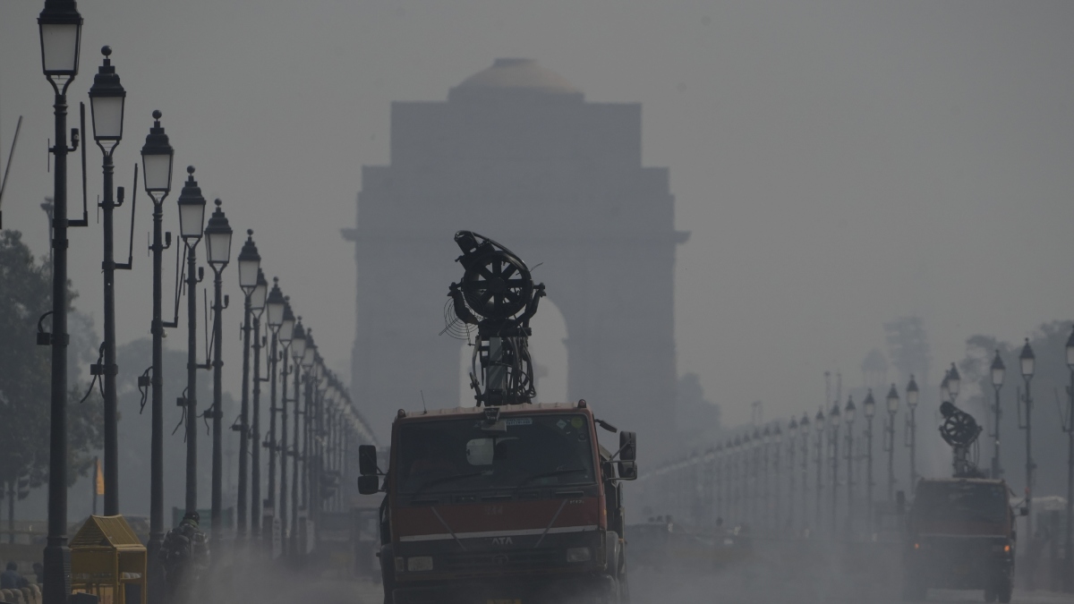
According to the Meteorological Department, circulation is also forming in the Bay of Bengal near West Bengal. At present there is no clear information regarding its impact on the plains. Westerly winds are blowing in North-West and North-East India. This wind brings rain to the plains of the country during the winter season. At present, the Meteorological Department has not issued a rain alert in any state, but due to westerly winds, such conditions may arise in the coming days.
How will the weather be in the coming days?
- No change is likely to occur in minimum temperatures over northwest India during the next 2 days. After this, there is a possibility of a gradual increase of 2-3 degrees Celsius during the next 2 days and after that there is no possibility of any significant change in it for the next 3 days.
- There is no possibility of any change in minimum temperatures over Central India during the next 2 days. After this, it is likely to increase gradually by 2-3 degrees Celsius during the next 3 days. After this, there is no possibility of any significant change in the temperature for the next 2 days.
- There is likely to be no change in minimum temperatures over East India during the next 4 days. After this, it is likely to increase gradually by 2-3 degrees Celsius during the next 3 days.
- There is no possibility of any significant change in temperature in other parts of the country.
- There may be light rain and snowfall in Jammu and Kashmir, Ladakh and Himachal Pradesh in the coming days. The Meteorological Department has issued a yellow alert for February 10.
Temperature will increase in Rajasthan
The weather will remain dry in Rajasthan for the next three to four days and a partial increase in temperature is expected. According to the Jaipur-based weather centre, the weather remained dry in the state during the last 24 hours till Saturday morning. In Rajasthan, the maximum temperature was 32.6 degrees Celsius in Barmer while the minimum temperature was 5.9 degrees Celsius in Fatehpur (Sikar) and Nagaur. The Meteorological Department predicted that the weather will remain dry in the state for the next three to four days, although there is a possibility of light cloud cover due to the circulation system formed due to weak western disturbance. The department said that partial increase in temperature will continue in most parts of the state for the next three to four days. According to the department, a new western disturbance may affect the northwestern region from February 9.
Also read-
Sikkim’s land trembled due to earthquake, know the intensity on Richter scale
Two western disturbances active in the country, weather patterns changed, cold strong winds increased the cold; Chances of rain in these states
Latest India News
 Follow Us On WhatsApp
Leave a Comment